Chicago Weather: Relief Arrives After Historic September Heat Wave
Chicago breaks a 64-year-old weather record before a cold front brings cooler temperatures and lower humidity for the Labor Day weekend.
A Record-Breaking Start to September
Chicago residents are finally getting a reprieve from a grueling stretch of late-summer heat that pushed local utility grids to their limits and rewrote the city’s weather record books. A persistent high-pressure system parked over the Midwest brought soaring temperatures to start the month. It was not just uncomfortable. It was historic.
For four consecutive days, the mercury tapped the 90-degree mark across Chicagoland. According to National Weather Service historical data, the city has only seen this type of early September heat once before. That previous stretch occurred in 1960, making this week’s weather a rare 64-year phenomenon.
The intense heat was compounded by high humidity levels. The moisture in the air made afternoon conditions feel significantly hotter than the actual thermometer readings. Families flocked to indoor malls, public libraries, and air-conditioned community centers to escape the stifling air.
The Frontal Boundary Shifts Friday Night
The stubborn heat dome is finally beginning to break, but the transition will not happen overnight. Friday night will remain warm and sticky across the metropolitan area. Overnight low temperatures will struggle to drop, keeping the air heavy and humid into the early morning hours.
Meteorologists are watching a cold front slowly tracking south from Canada. This boundary could trigger isolated showers and a few spotty thunderstorms across northern Illinois late Friday night. While widespread severe weather is not expected, the incoming moisture could create tricky travel conditions.
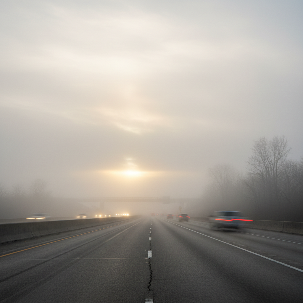
As the cold front collides with the warm, humid air mass, fog is expected to develop across the region. Commuters and early morning travelers on Saturday should prepare for pockets of dense fog. Reduced visibility could impact major thoroughfares, including Interstate 94 and Interstate 80, during the early morning hours.
A Tale of Two Zones on Saturday
Saturday will serve as a transitional day as the cold front makes its way through the Chicago area. This will create a noticeable temperature divide between the northern and southern halves of the metropolitan region. Highs in the northern suburbs will likely peak in the low to mid-80s.
Meanwhile, southern suburbs and counties closer to central Illinois will experience one more day of late-summer heat. Temperatures there are expected to climb into the upper 80s, with some spots potentially touching 90 degrees. Humidity levels will remain elevated through much of the day before drier air begins to filter in.
A few scattered showers and thunderstorms remain possible on Saturday morning, particularly in northwest Indiana. These storms may linger through the late morning hours before pushing eastward. By Saturday afternoon, dry air will take over, clearing the skies and lowering the humidity just in time for evening outdoor plans.
A Perfect Labor Day Forecast
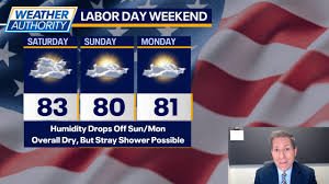
The weather looks spectacular for the remainder of the three-day holiday weekend. Both Sunday and Labor Day Monday will feature pleasant, comfortable conditions across the entire Chicago area. High temperatures will hover in the lower 80s, which is right on par with seasonal averages.
The most welcome change for many residents will be the sharp drop in humidity. Crisp, dry air from the north will replace the tropical moisture of the past week. Winds are also expected to remain calm, staying well under 15 mph throughout the holiday weekend.
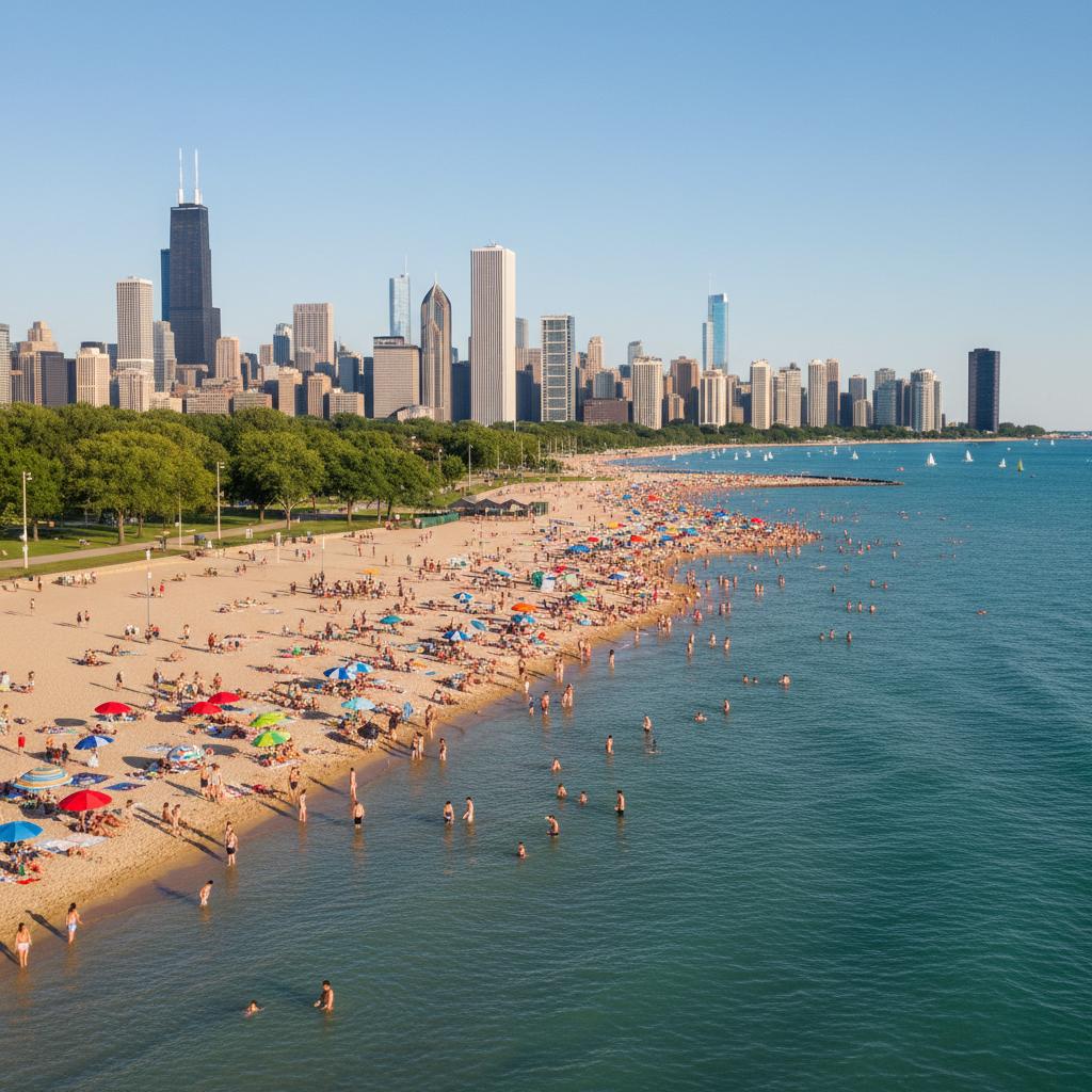
These conditions are ideal for the wide array of outdoor festivals, neighborhood block parties, and sporting events scheduled across the city. Lake Michigan beaches will likely see high attendance, though swimmers should remain mindful of local water temperature updates. The pleasant weather will also provide a much-needed break for regional power grids, as residential air conditioning use drops.
Looking Ahead: The Post-Holiday Rebound
The autumn-like reprieve will be short-lived. As the holiday weekend wraps up and residents head back to work and school on Tuesday, summer is planning a quick comeback. Winds will shift back to the south, ushering in another wave of warm, moist air from the Gulf of Mexico.
High temperatures on Tuesday and Wednesday are forecast to jump back into the upper 80s. With humidity levels rising once again, heat index values could climb into the lower 90s. School districts across Cook, DuPage, and Will counties will need to monitor classroom temperatures as students return to their desks.
The heat is expected to moderate by the end of next week. Temperatures should settle back into the mid-80s during the day, with comfortable nighttime lows in the 60s. Fortunately for outdoor enthusiasts, the long-range forecast shows very little chance of rain, promising a dry and stable week ahead.